Field notes: when the network map and the rating crew disagree
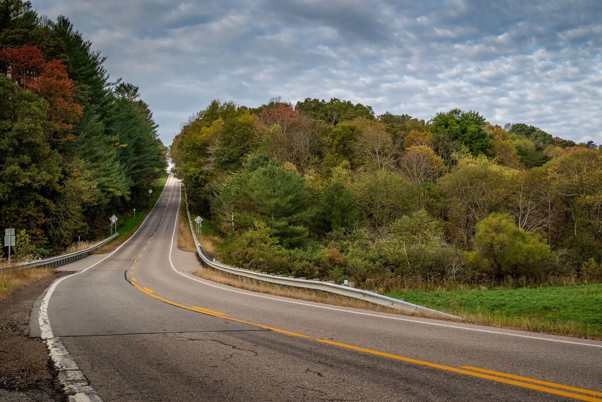
Every pavement management office has a version of this week eventually. A rating crew finishes its pass through a district, flags a handful of segments as priority candidates, and the list looks reasonable. Then someone pulls a network-wide condition read for the same stretch of road and the two lists barely overlap.
The instinct is to assume one of them is wrong. Usually neither is.
A windshield crew sees what's in front of the truck that day, at the speed the truck is moving, on the route the schedule happened to assign. If the crew covered the east side of the county this quarter and the budget committee meets in six weeks, the west side simply hasn't been looked at since last year's pass, maybe the year before. It comes down to the arithmetic of covering a few thousand lane-miles with a few trucks and a limited rating season. Something has to go last, and "last" doesn't mean "fine."
A full-network read doesn't work that way. It looks at every segment in the same pass, at the same time, which means it catches the deterioration that happened in the gap since the crew was last out there. The segment that got a clean rating eighteen months ago but has since gone through two freeze-thaw cycles and a bad summer doesn't know it's overdue. It just keeps cracking.
That's roughly what happened on the stretch I'm thinking of. The rating crew's list, built from the spring pass, had the usual suspects: known problem corridors, a couple of intersections everybody already complains about. The network read flagged a different cluster entirely, a collector road that hadn't been rated since the previous cycle and had quietly moved from scattered fatigue cracking to block cracking with early ravelling at the shoulder. Nobody drove past it that quarter. It wasn't on anybody's list because it wasn't on anybody's route.
Neither source was lying. The crew report was accurate for the day it was collected. The network read was accurate for the moment it was flown. The disagreement was really about timing and coverage, not about who rates pavement correctly.
Agreement between the two lists is just confirmation, nothing new to act on. Disagreement is the actual finding: that's the segment worth a second look before it shows up in a complaint log or a pothole claim. The annual pass doesn't replace the judgment of someone who's walked a section and can tell block cracking from alligator cracking at a glance. It tells you where to point that judgment next, instead of wherever the route sheet happens to send the truck this month.
There's a budget-cycle version of this problem too. Resurfacing dollars get allocated once a year, usually on whatever list exists when the committee meets. If that list is built entirely from routes a crew happened to cover, the segments outside this year's rotation don't get a fair hearing, no matter how far along they've gotten. A once-a-year read of the whole network, even a coarse one, at least puts every mile on the table at the same time, which is more than a rotating windshield schedule can promise.
None of this makes field crews obsolete. Somebody still has to confirm what the imagery suggests, scope the treatment, and make the call between a mill-and-overlay and a chip seal. What changes is what gets put in front of that judgment first. A network-wide picture of the whole system built from an annual aerial or satellite pass is a decent way to find out which segments deserve a crew's attention before the next route sheet gets written, not after.
Worth running your own network through one before the next budget cycle locks in.